Kristian Nelson GIS Portfolio
Welcome to my GIS portfolio! Here you can find some examples of projects I have worked on personally, or large scale research projects I am involved in. I am a graduate of the University of Maryland, Baltimore County and looking to get into the industry! I am seeking career building opportunities in the field of Geographic Information Science as an GIS Analyst, Specialist, or Technician. I am also seeking opportunities in the feild of Environmental Science as an Environmental Specialist, Scientist, or Planner, and other related positions where I can apply and improve my current skills, expand upon my knowledge from others in the field, and show my passion through my work. Feel free to contact me via email if you have any questions.
Project 1: Baltimore Industries
Tools: QGIS, ArcMap, Atom, SQL
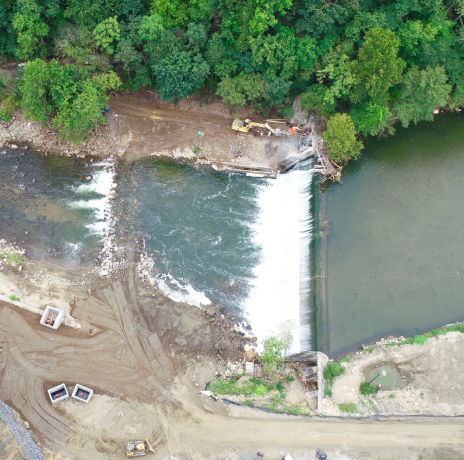
Project 3: Bloede Dam Removal
Tools: Agisoft Photoscan, ArcMap, Cloud Compare, Excel
Data: All imagery was aquired by drones, imagery was processed and used to create the final outputs. Some elevation data was used from MGS.
Project 4: Hawaii Housing Risk
Tools: QGIS, Python, SQL, ENVI, ArcMap, GeoDa, Markdown
Data: Hawaii Forest & Trail, USGS Earth Explorer, DEM, Hawaii Guide, Parcel Data, Lava Flow Data, Fire Risk Data


